Blog
Éco-design, matériaux biosourcés, artisanat français
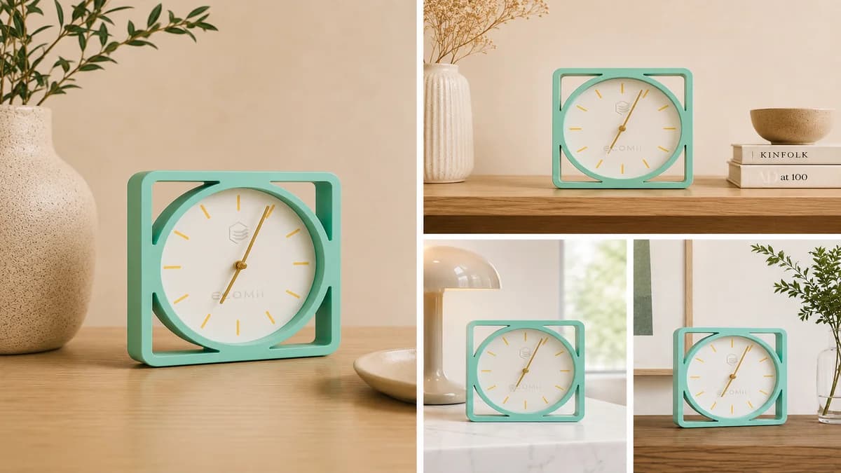
Horloge murale originale : le design géométrique made in France par ECOMii
Vous cherchez une horloge murale originale et durable ? Découvrez Horloge Quadris, notre création géométrique en impression 3D biosourcée, fabriquée en France. Design contemporain, mécanisme silencieux.
Lire l'article →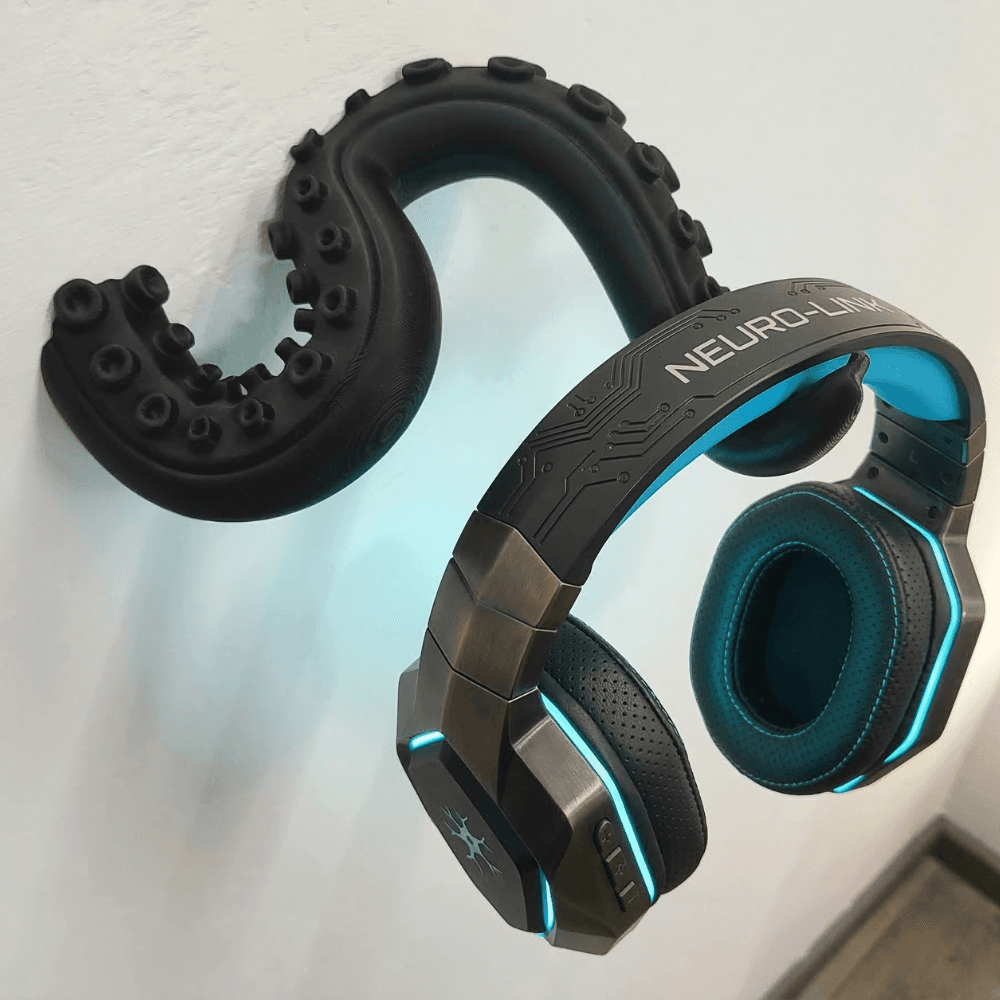
Porte casque mural design : les meilleures idées pour ranger son casque audio avec style
Catégorie : Décoration, Setup Gaming, Accessoires Audio | Lecture : 6 min Votre casque audio est précieux. Il coûte cher, il...
Lire l'article →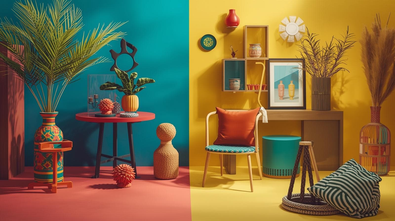
7 Idées de Cadeaux Déco Insolites et Éco-responsables Fabriqués en France
Trouver un cadeau qui sorte vraiment de l'ordinaire sans financer une chaîne de production à l'autre bout du monde : le...
Lire l'article →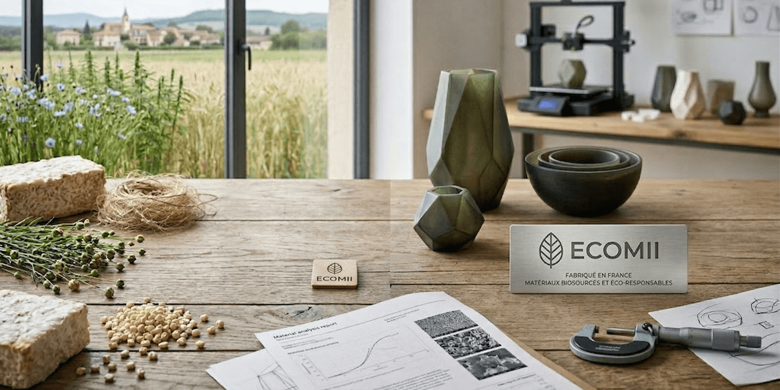
Matériaux biosourcés : Quels sont les avantages et les limites ?
Les matériaux biosourcés et les biopolymères suscitent un enthousiasme croissant dans le monde du design, de l'emballage et de la fabrication...
Lire l'article →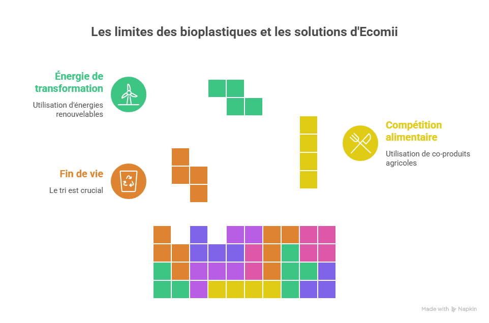
Polymères biosourcés et Environnement : Un vrai gain pour la planète ?
Le plastique conventionnel, issu du pétrole, est aujourd'hui l'un des symboles les plus emblématiques de la crise environnementale mondiale. Chaque année,...
Lire l'article →
Qu'est-ce qu'un polymère biosourcé ? Tout comprendre sur le plastique végétal
Polylactide, PHA, matière bioplastique, résine végétale… Ces termes envahissent peu à peu les étiquettes de nos objets du quotidien, des emballages...
Lire l'article →
Quel est le prix d'un crâne de T-Rex ?
Lecture : ~5 min Le Tyrannosaurus rex est le dinosaure le plus emblématique de l'histoire naturelle. Son crâne imposant, pouvant atteindre...
Lire l'article →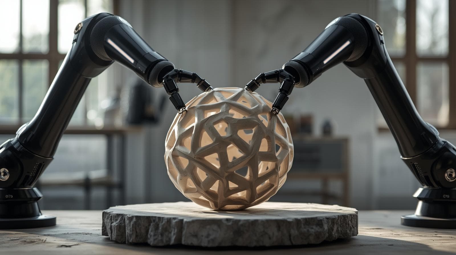
L'objet déco design original : quand la géométrie redéfinit votre intérieur
Vous cherchez un objet déco design original qui ne ressemble à aucun autre ? Chez Ecomii, nous croyons que la décoration...
Lire l'article →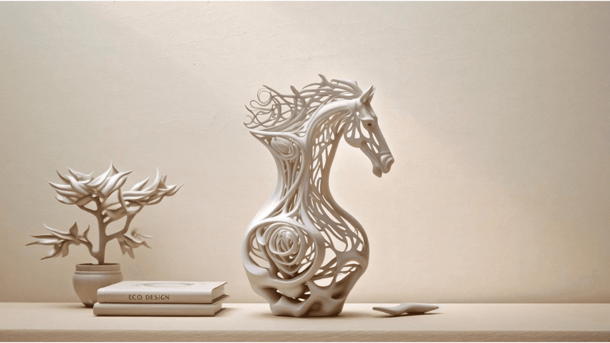
Comment choisir l'objet déco design à poser sur un meuble pour sublimer votre intérieur ?
Un intérieur ne se définit pas uniquement par ses grands meubles ou ses volumes. Ce sont les petits éléments, posés avec...
Lire l'article →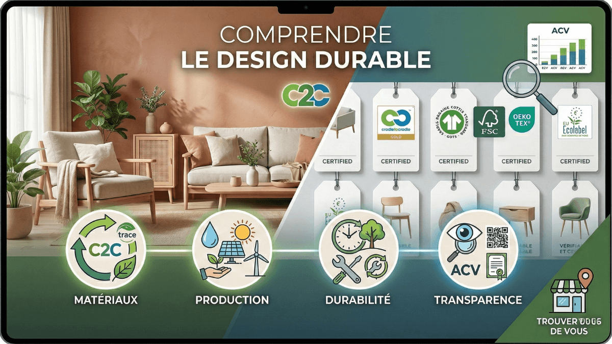
Où trouver du design éco-responsable près de chez vous ?
Ce que signifie vraiment « design éco-responsable » Avant de savoir où chercher, il faut savoir quoi chercher. Le terme design éco-responsable est...
Lire l'article →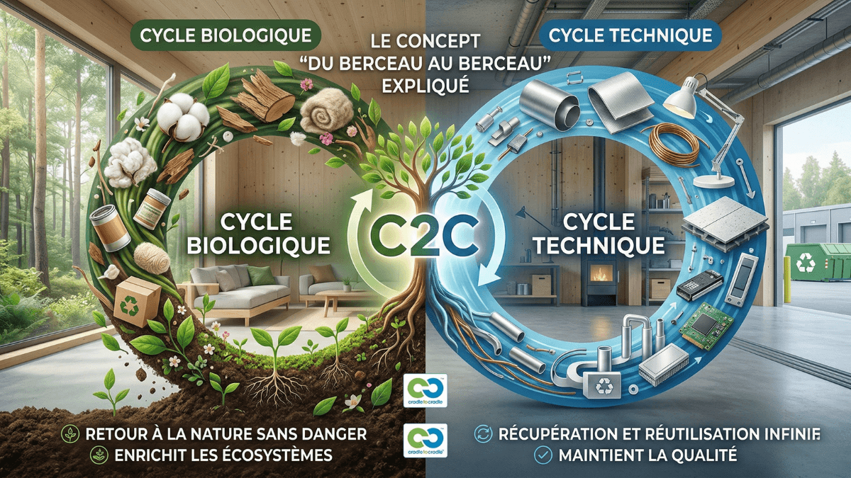
Cradle to Cradle : Tout comprendre sur le concept du « Berceau au Berceau »
Le concept de Cradle to Cradle (C2C), que l'on traduit en français par « du berceau au berceau », est bien plus qu’une...
Lire l'article →
L’éco-design haute précision
L’éco-design ne consiste pas simplement à utiliser des matériaux alternatifs.C’est une approche globale qui repense la manière dont un objet est...
Lire l'article →
L’Évolution d’Ecomii : L’Artisanat de Précision au Service du Design Durable
Depuis sa création, Ecomii.com s'est imposé comme une voix de référence pour décrypter les enjeux environnementaux et les solutions d'avenir. En...
Lire l'article →